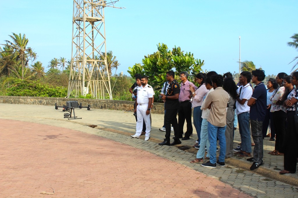
Workshop on Advanced Drone Mapping for Research Successfully Conducted
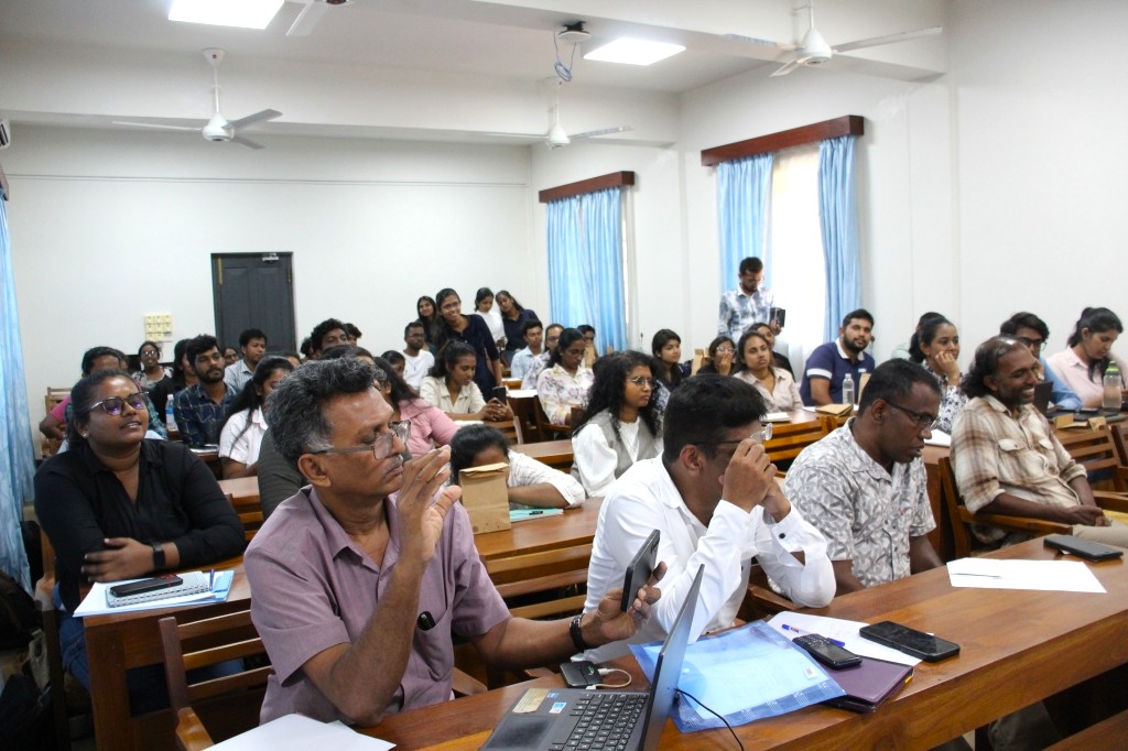
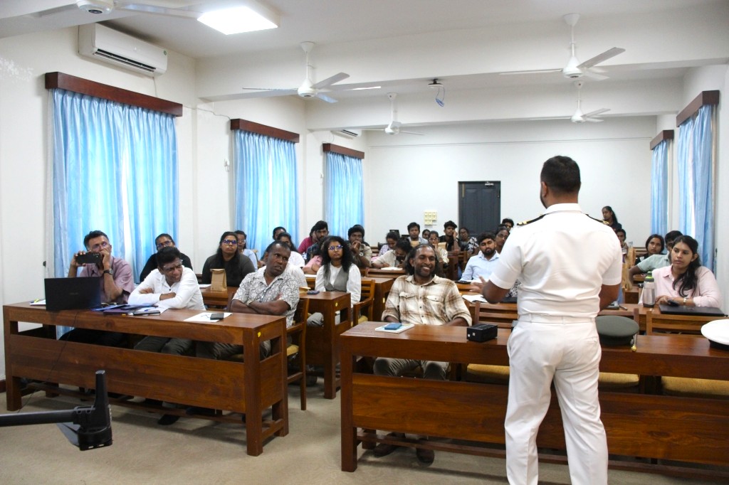
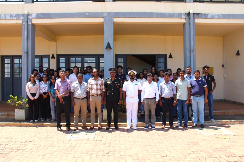
The China-Sri Lanka Joint Center for Education and Research (CSL CER), University of Ruhuna, successfully conducted the Workshop on Advanced Drone Mapping for Research on 10 September 2026 at the CSL CER premises, University of Ruhuna.
The one-day training programme was organised to enhance participants’ knowledge and practical understanding of the applications of drone technology in research, environmental monitoring, mapping, remote sensing, and geospatial data analysis.
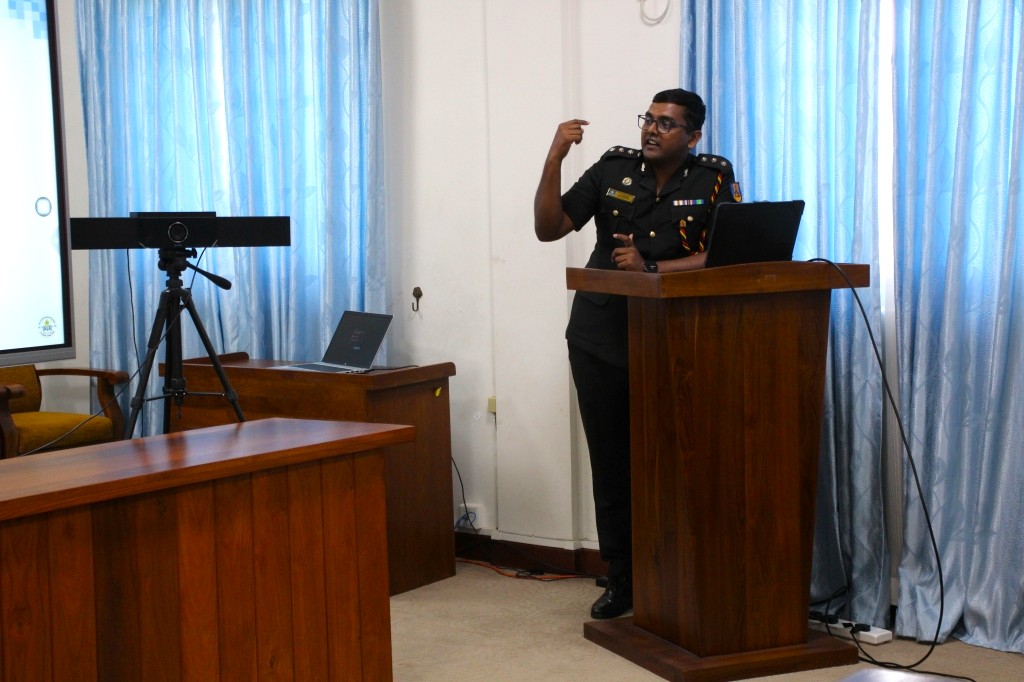
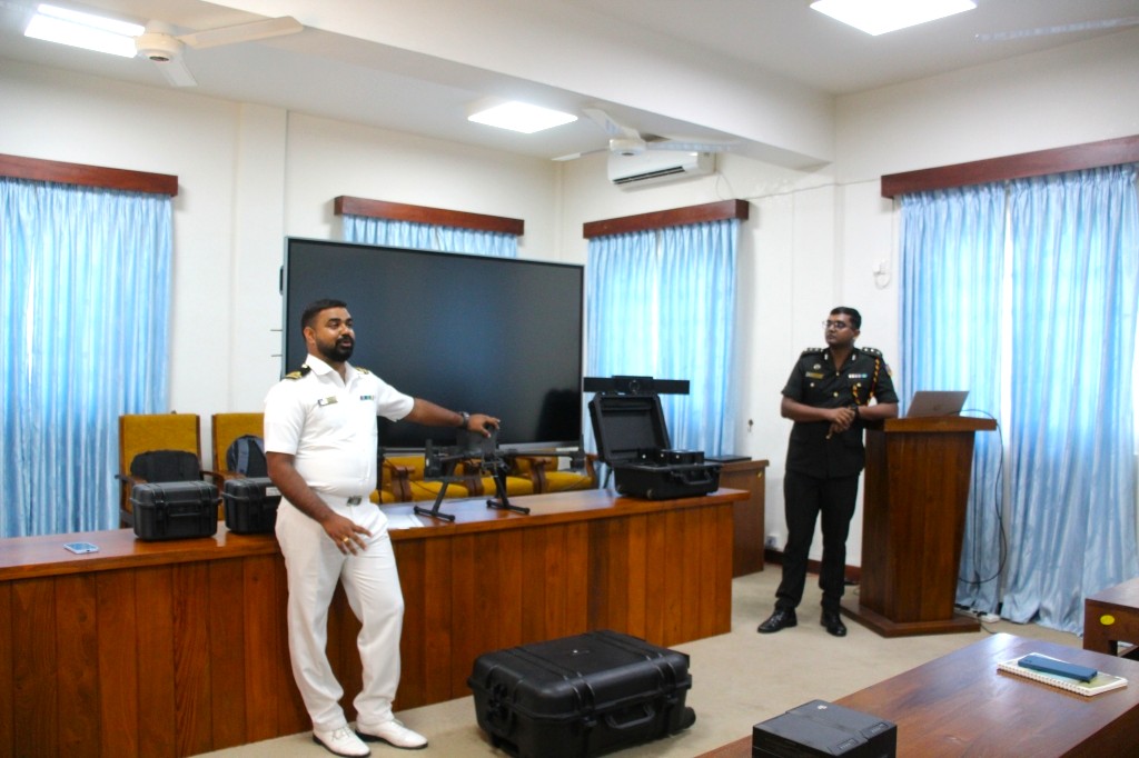
The workshop provided a combination of theoretical sessions and practical demonstrations covering key areas including remote sensing, UAV-based mapping, GIS integration, drone systems, flight planning, practical applications of drone mapping, Sri Lankan legal and regulatory requirements, custom drone development, drone operation, and introductory drone data processing.
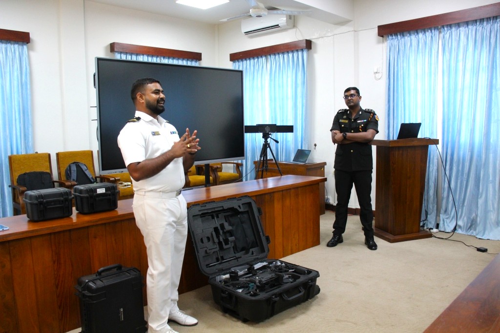
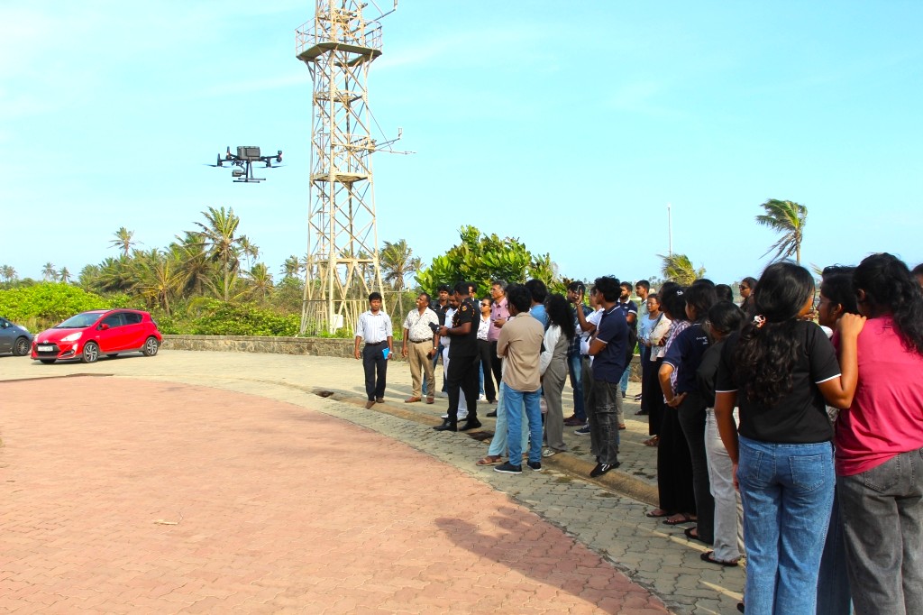
A major highlight of the programme was the live practical demonstration, which provided participants with hands-on exposure to essential field-mapping procedures. Participants were introduced to pre-flight inspection, mission planning, drone operation, data acquisition, and good practices for UAV-based field mapping. The practical component enabled participants to gain a better understanding of how drone technology can be integrated into research and field-based applications.
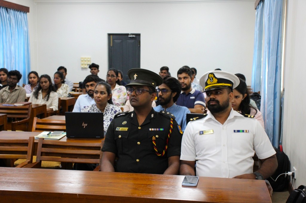
The workshop was conducted by two experienced resource persons from the Centre for Defence Research and Development (CDRD):
-
Capt. (Eng.) Muditha Ranasinghe
Research Engineer, Centre for Defence Research and Development -
Lt. (IT) Dhanuja Senaweera
Research Officer – GIS, Centre for Defence Research and Development
The programme brought together researchers, students, and other interested participants, providing a valuable platform to learn about emerging drone-based technologies and their applications in research and environmental and geospatial studies.
The successful completion of the workshop further strengthened opportunities for knowledge sharing, technical capacity building, and future collaboration between CSL CER and CDRD in the areas of drone technology, remote sensing, GIS, and research applications.
CSL CER extends its sincere appreciation to the resource persons from CDRD for sharing their expertise and practical knowledge, and to all participants for their enthusiastic engagement and contribution to the success of the programme.